FAO builds Indonesia’s capacity in satellite data interpretation to assess forest area

-----
The Food and Agriculture Organization of the United Nations (FAO) this week trained local experts in remote sensing techniques critical for monitoring the world’s forest and mangrove ecosystems.
Fifty national representatives convened in Lombok for the workshop, which was organized with financial support from the European Union.
By establishing a network of satellite image interpreters in Indonesia, the workshop contributes directly to FAO’s Remote Sensing Survey (RSS), which in turn provides data for the Global Forest Resources Assessment (FRA), the largest examination of forest resources across the globe.
"Through this workshop, national remote sensing experts were empowered with knowledge to generate high-quality estimates in order to contribute to the transparency and accessibility of essential data on forests," said Adolfo Kindgard, FAO Forestry Officer.
Enhancing remote sensing data collection
With the aim to develop national remote sensing capacities, the workshop facilitators offered instruction on the physics of remote sensing and the theory behind satellite image interpretation. The expert participants were also trained in FRA 2025 RSS methodology, terms and definitions.
The workshop equipped participants with the tools to provide independent and consistent estimates for inland forest and mangrove area and its changes, from 2000 to 2024. Each participant used Collect Earth Online to gather approximately 250 RSS samples within their region of expertise.
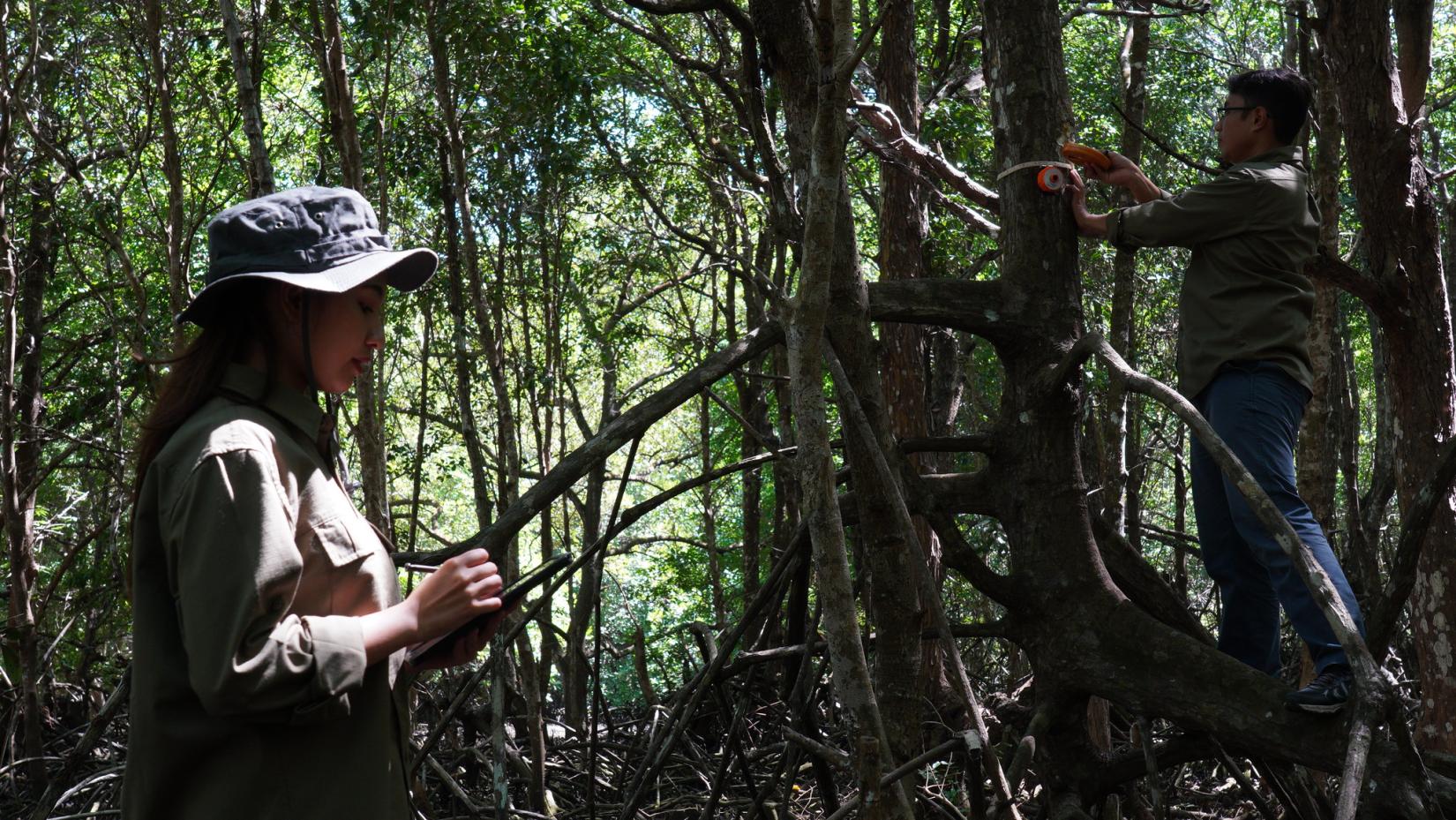
During the event, the Director of Forest Resources Inventory and Monitoring at the Ministry of Forestry, Agus Budi Santosa, emphasized the importance of partnership in advancing national forest information. “Since 1948, Indonesia has proudly been a member of FAO, forging a powerful partnership in the advancement of national forest information. The country has demonstrated its commitment by consistently submitting comprehensive reports on the status of its forests through the five-year Global Forest Resources Assessment (FRA), which prominently features the Remote Sensing Survey. This proactive involvement underscores Indonesia's dedication to sustainable forest management and global environmental stewardship,” he stated. In addition to improving estimates of forest area and its changes, the training also focused on Indonesia's extensive mangrove forests, which play a vital role in the country’s coastal ecosystems.
Indonesia holds 21 percent of the world’s mangrove area, according to 2020 FRA data, making it a critical player in the global effort to monitor these valuable coastal ecosystems.
Following his remarks, FAO Representative for Indonesia and Timor-Leste, Rajendra Aryal highlighted the significance of Indonesia’s active participation in Forest Resource Assessment.
“Your participation in this workshop is critical to ensuring that Indonesia’s forest and mangrove statistics are as accurate and up to date as possible. It is also an opportunity to learn and apply innovative monitoring techniques that will strengthen future reporting efforts,” Aryal said.
FAO’s global Remote Sensing Survey
Since 1948, FAO has conducted assessments of the condition, extent, management and uses of global forest resources. The assessments compile comprehensive country reports every five years from officially nominated national correspondents with a standardized methodology to inform the decisions and recommendations of civil society, the private sector, governments and international conventions.
The RSS is used by the Global Forest Resources Assessment to assess the status and changes in forest areas and other key land uses at global, regional and biome levels with satellite imagery and remote sensing tools. FRA 2025 RSS, slated for release in 2026, will update forest and mangrove data up to 2024 and collect new information on agroforestry systems, pastoral systems, types of crops, burned forests, mangroves and trees outside of forests.
More on this topic
- Interactive story: Unlocking the secrets of mangroves
- Platform: Global Forest Resources Assessment 2020 data
- Publication: FRA 2020 Remote Sensing Survey
- Website: Remote Sensing | Global Forest Resources Assessment
- Video: Insight into the Global Forest Resources Assessment process
- Video game: Forest Kids - Biodiversity
- Publication: The world's mangroves 2000-2020
Written by

UN entities involved in this initiative
Goals we are supporting through this initiative


